Carrickalinga Foreshore Path - Stages 2 & 3
Consultation has concluded, but read on to learn about the project...
Some context
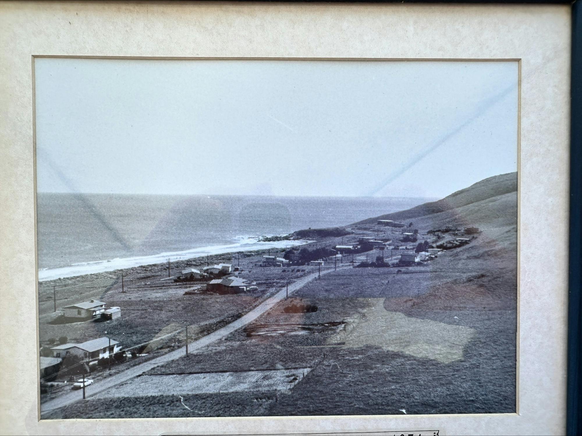
We have some of the best coastline in South Australia, running from Carrickalinga right through to Lady Bay that offers stunning scenery and some great swimming beaches. Being able to enjoy our coastal townships and have good access to our foreshores is important to our residents and a draw card for visitors, that's why Council is leading a vision to create a continuous link of shared trails connecting Carrickalinga to Lady Bay via Normanville.
The current project
The Carrickalinga Foreshore Path is a staged shared path project spanning the length of Gold Coast Drive from North Bay Carrickalinga to the Carrickalinga Creek Estuary and connecting to Carrickalinga Road via Cec Collins reserve. It forms part of the Carrickalinga to Normanville Path, a project staged over time, to create approximately 6 km of shared-use path between North Bay Carrickalinga and the Normanville Foreshore.
Stage 2 - we asked the community to provide feedback to help us finalise the concept plans
In 2024, Stage 2 of the Path - 862m between Haycock Point and the Carrickalinga Creek Estuary - will be completed subject to successfully securing grant funding: The planned work includes:
- path and roadside improvements on Gold Coast Drive;
- lookout platforms (at beach access points) between Haycock Point and the Carrickalinga Creek estuary;
- interpretive signage along the length of Gold Coast Drive, between North Bay and the Carrickalinga Creek estuary;
Detailed concept plans of this section of the path were developed and we sought community feedback to help us make informed decisions as we finalised the plans. We wanted to ensure we understood what the community liked about the plans and where there were concerns, challenges and improvements to be made.
Stage 3 - we asked the community to provide their ideas to shape the development of concept plans
The community were invited to participate in building ideas and problem solving as we embark on developing concepts for Stage 3 of the Carrickalinga Foreshore Path. This section of the path will meander through Cec Collins Reserve from the Carrickalinga Creek Estuary to Carrickalinga Road and we wanted to know what people in the community loved and would like to share with others along this section of the Path.
How the community were able to participate
There were a few different ways people in the community were able to participate in this project:
- Contribute to the online 'Ideas Board';
- Drop a pin on our interactive map to make suggestions at specific locations along the path;
- Complete our submission form either online or by returning a hard copy to Council.
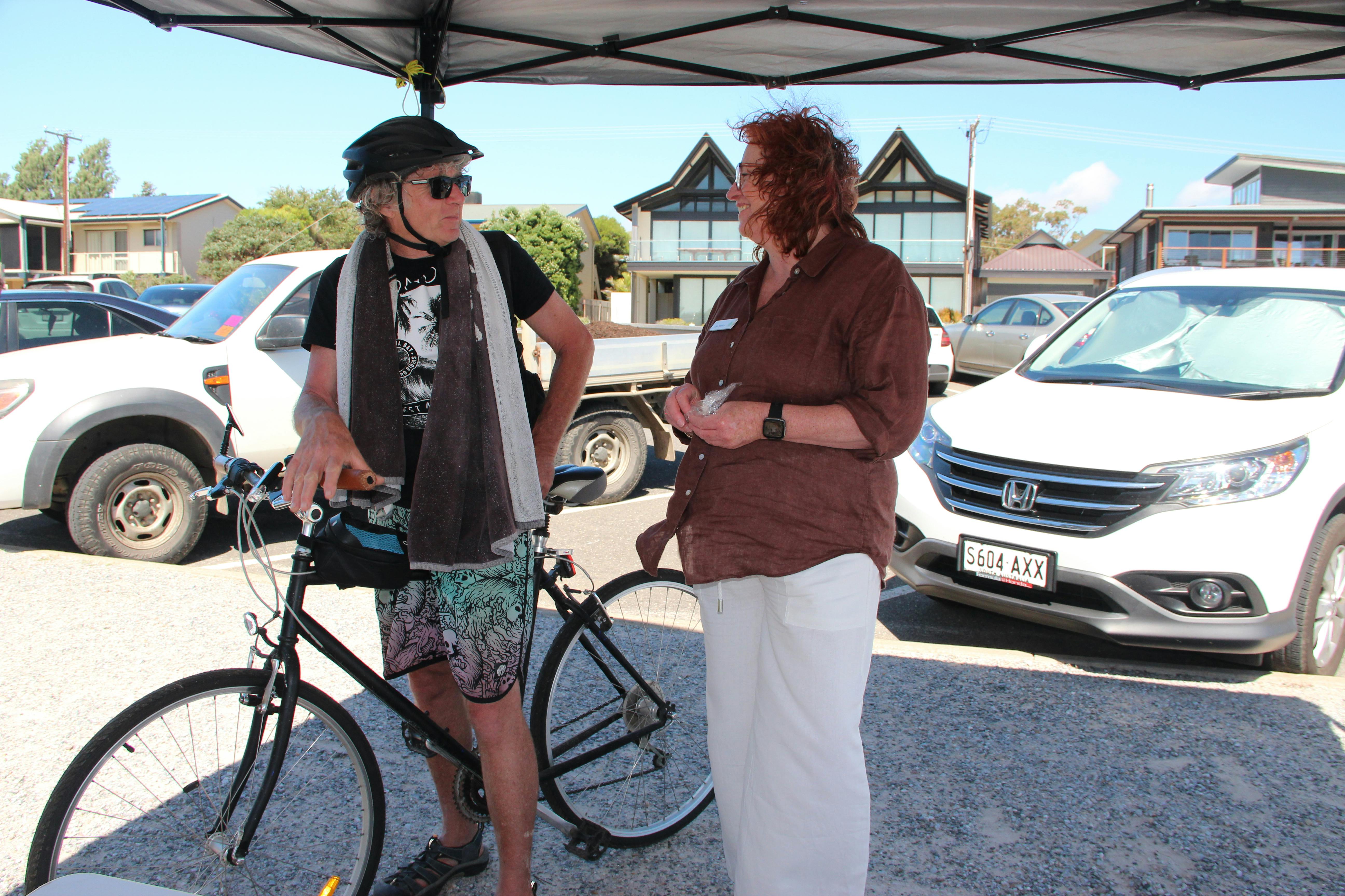
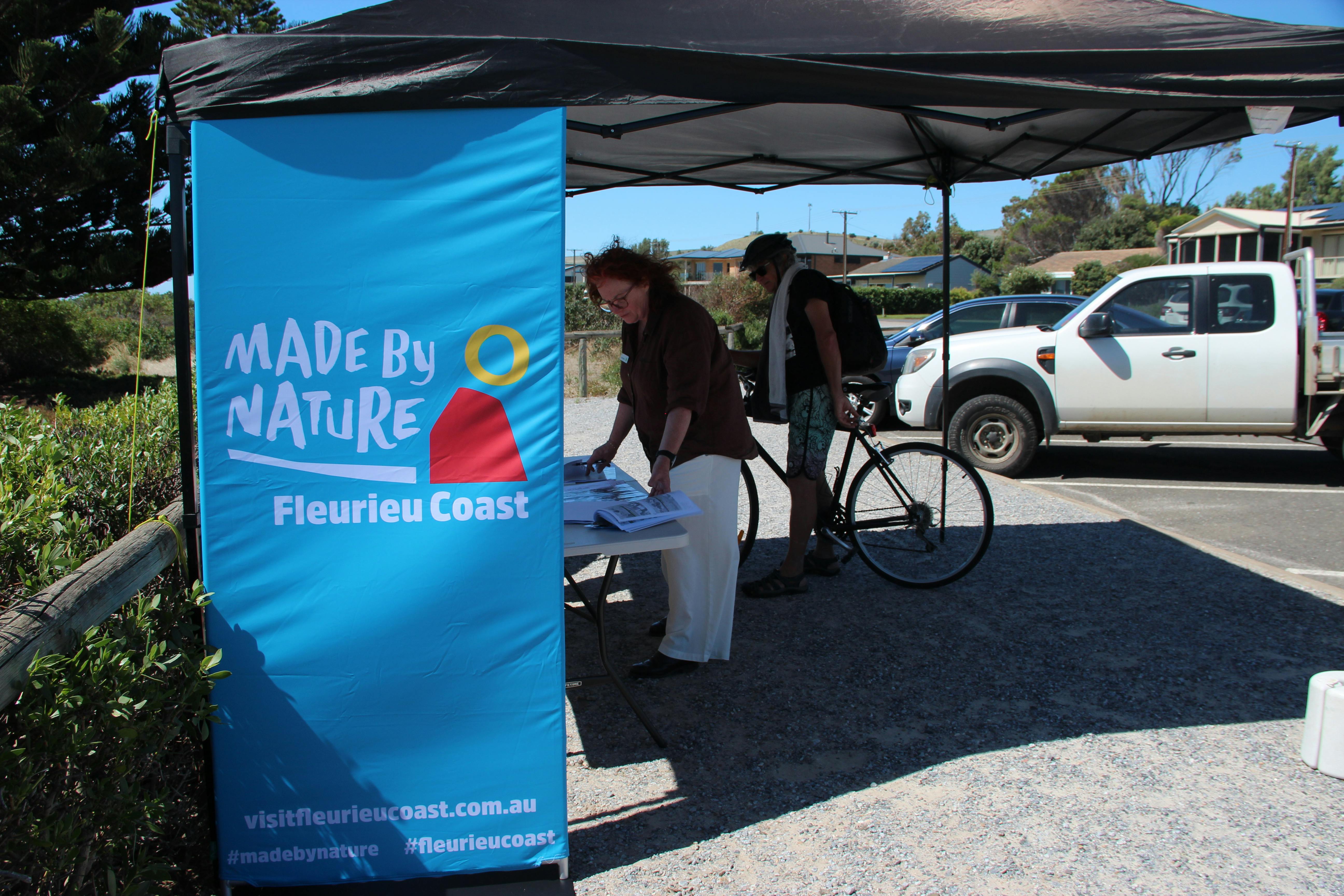
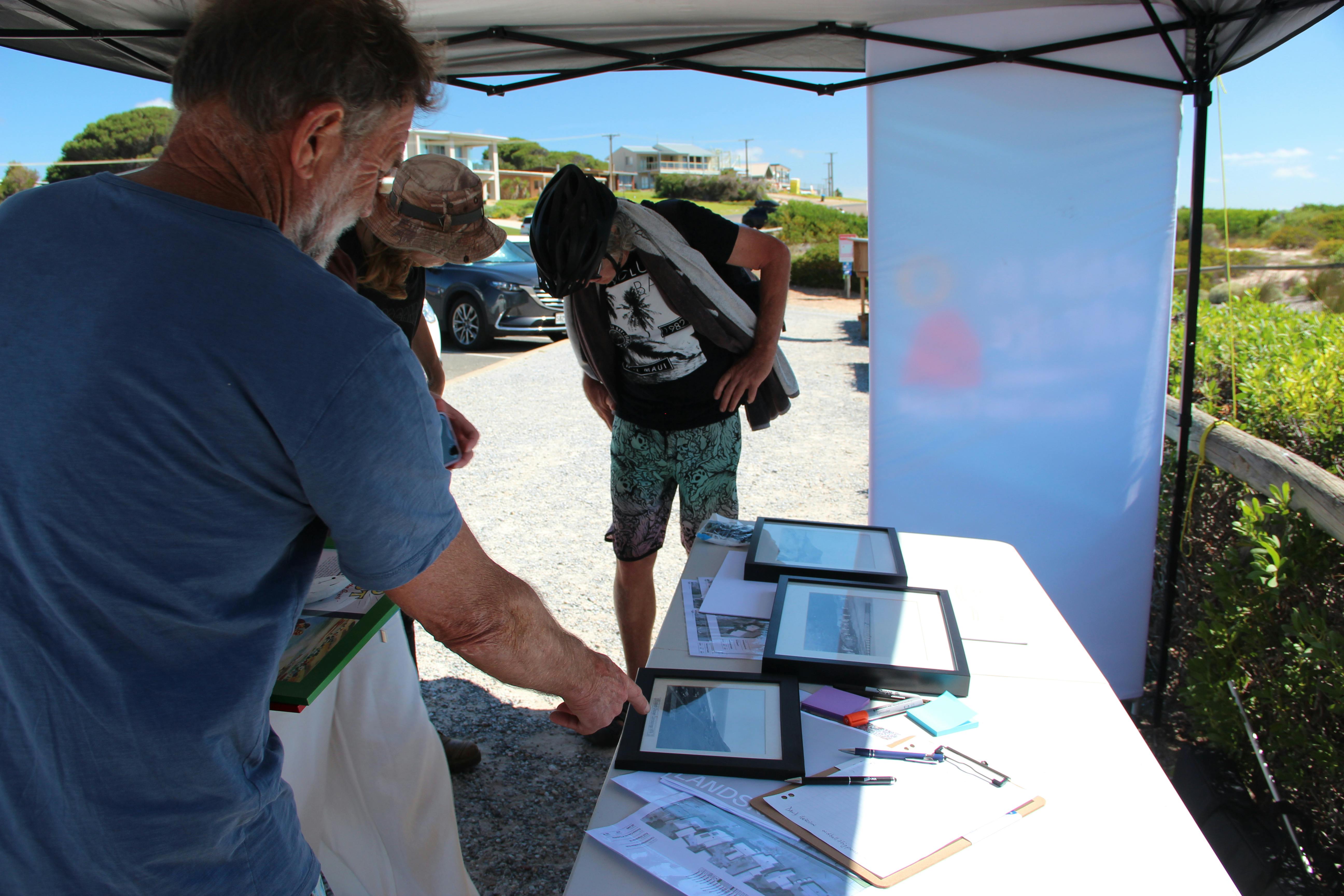
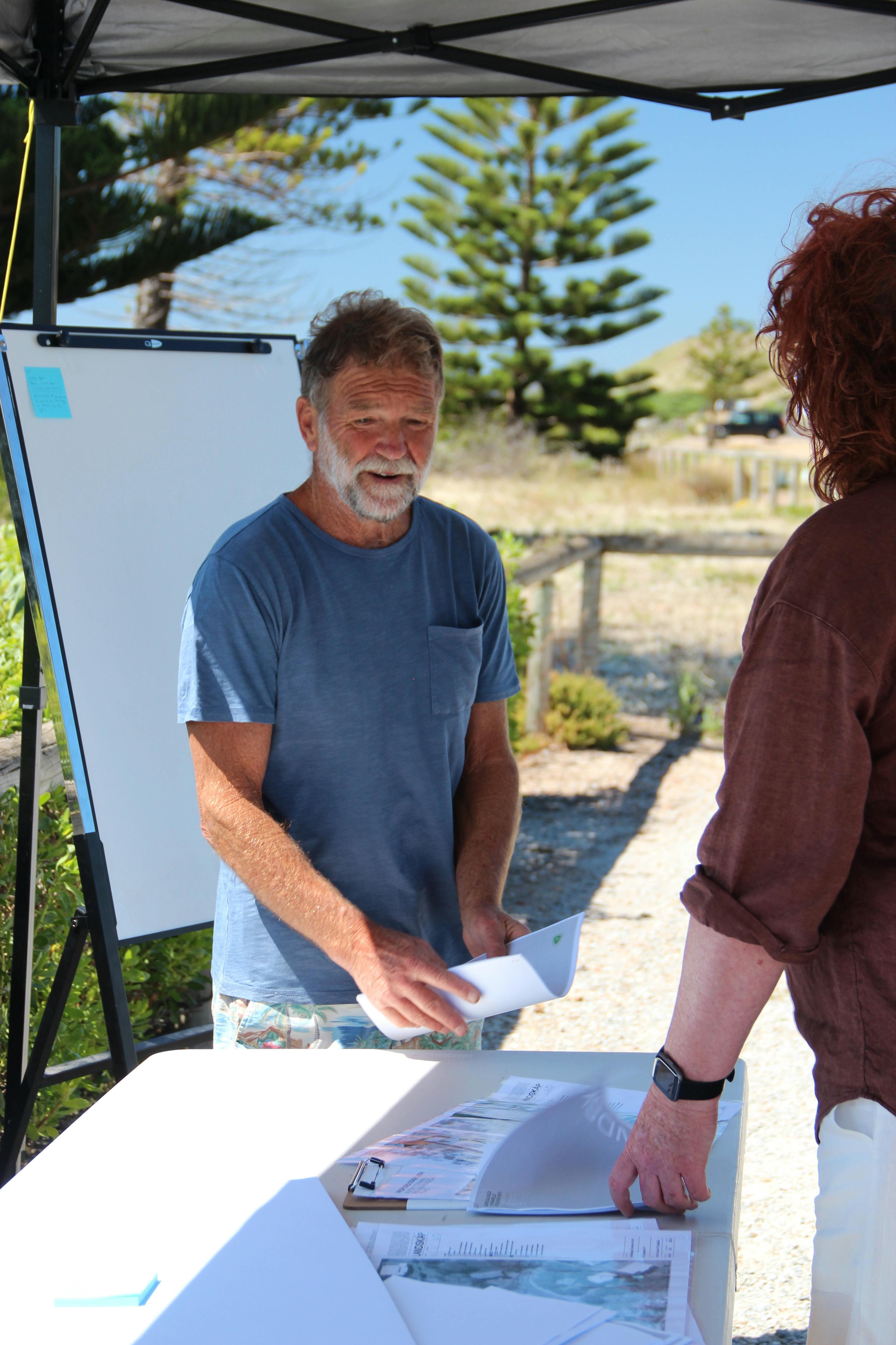
- Visit us for a chat at our Participation Pop-up stand at the Carrickalinga Foreshore (near the toilet block and carpark at the southern end of Gold Coast Drive) on Tuesday, 9 January 3:00pm - 6:00pm and Friday 2 February 4:00pm - 7:30pm.
An update report was presented to Council in May 2024, together with a summary of the feedback received. You can view the report here, scroll to page 15.
Next Steps
The Stage 2 concept designs will be updated to reflect community feedback. The Coast Protection Board's endorsement will then be sought by Council.
Once Council allocates seed funding (not proposed in the 2024-2025 Annual Business Plan and Budget), final detailed plans will be developed and grants will be pursued to secure additional funding.


